File:MoM-atlas-floods-and-dams.png
Jump to navigation
Jump to search
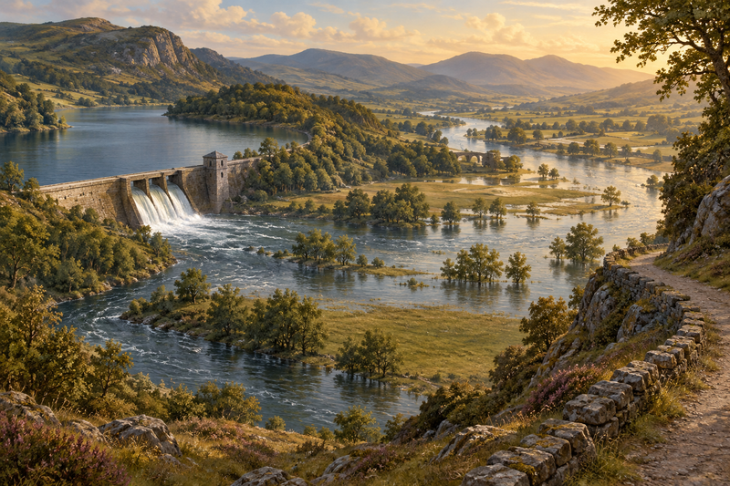
Size of this preview: 800 × 533 pixels. Other resolutions: 320 × 213 pixels | 1,536 × 1,024 pixels.
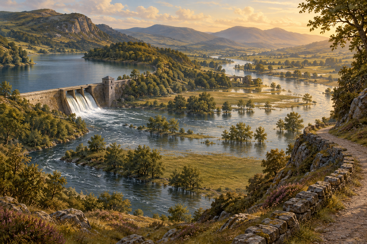
Original file (1,536 × 1,024 pixels, file size: 3.18 MB, MIME type: image/png)
Summary
Original editorial illustration created for the Metaphor Atlas and Floods, Dams and Breaking Banks article. An imagined river valley with a reservoir, dam, spillway, flooded meadow and higher path. Generated with OpenAI imagegen on 22 September 2026. This is an illustration, not a documentary photograph or a technical engineering diagram.
File history
Click on a date/time to view the file as it appeared at that time.
| Date/Time | Thumbnail | Dimensions | User | Comment | |
|---|---|---|---|---|---|
| current | 12:59, 22 September 2026 | | 1,536 × 1,024 (3.18 MB) | Chai (talk | contribs) | Original editorial illustration created for the Metaphor Atlas and Floods, Dams and Breaking Banks article. An imagined river valley with a reservoir, dam, spillway, flooded meadow and higher path. Generated with OpenAI imagegen on 22 September 2026. This is an illustration, not a documentary photograph or a technical engineering diagram. |
You cannot overwrite this file.
File usage
The following 3 pages link to this file:
